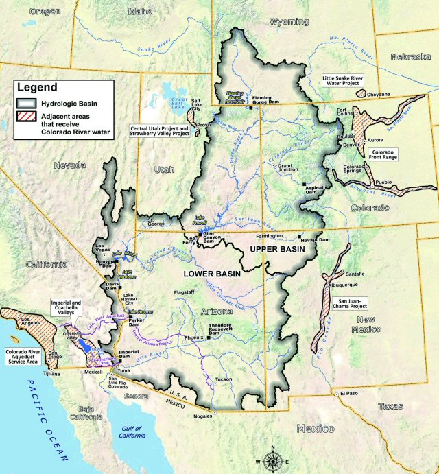
A study found in the Geophysical Research Letters of the Colorado River Basin that serves 40 million people in Arizona, Colorado, Utah, Wyoming, California, New Mexico and Nevada
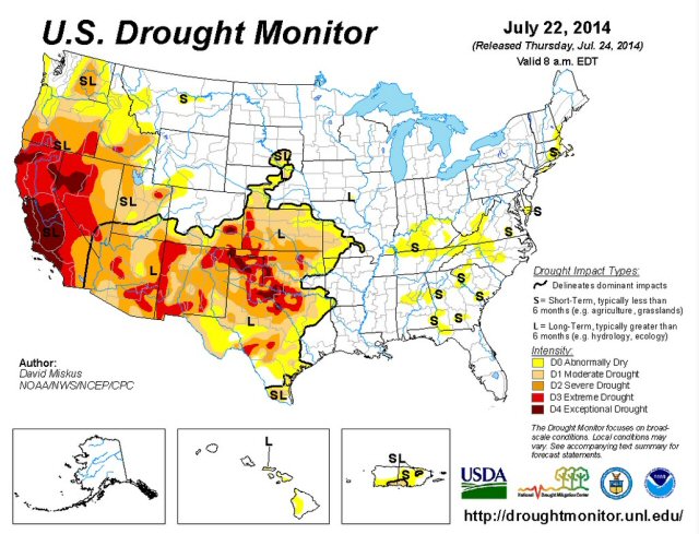
shows that the 14-year drought across the western United States has sapped underground water on a much larger scale than previously believed.
Fully three quarters of the water loss –53 million acre feet (65 cubic kilometers)- has come from aquifer depletion, an amount almost double the volume of the nation’s largest reservoir, Lake Mead.
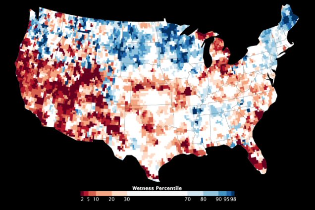
This is the first study to quantify the amount that groundwater contributes to the area’s use; however no one knows how much is left or when it will run out. The data shows a high and long-term reliance on groundwater to make up the difference between supply and demand at a time when declining snowpack and population growth threaten the long-term ability of the basin to meet its water allocation commitments.